
Hoofbeats on the Moor: An Interactive Journey Across the Peak District
Finding the Forgotten Lines Beneath Your Boots
Reading Holloways and Stone Causeways
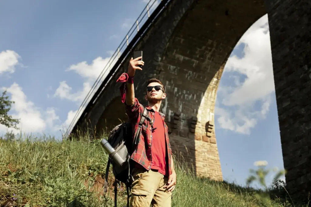
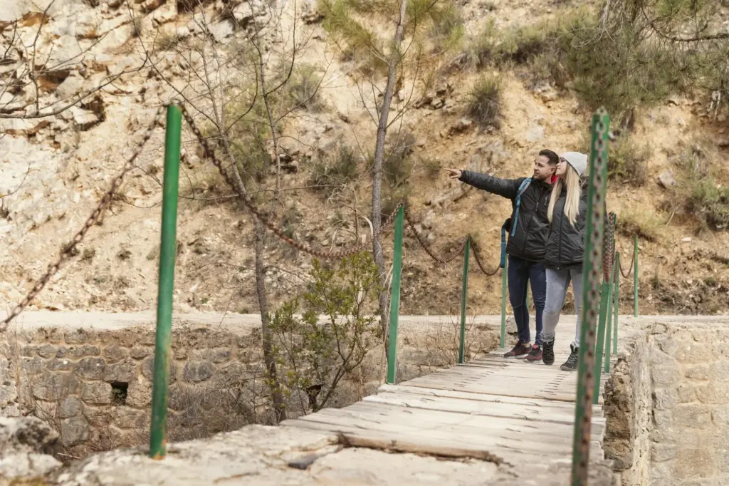
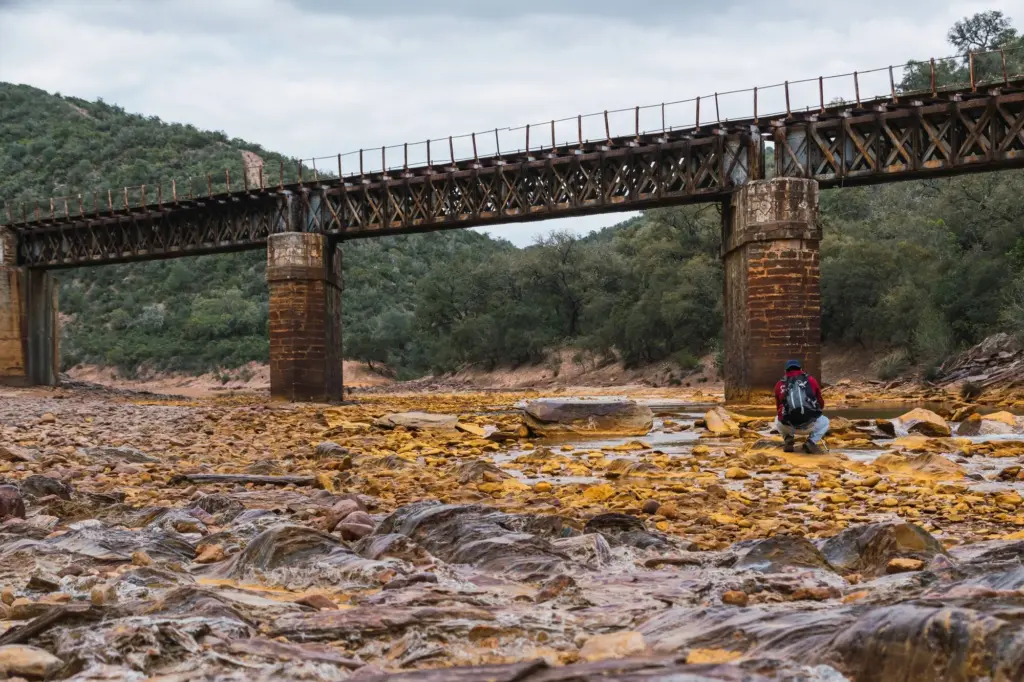
Bridges, Fords, and the Slippery Stones
Waymarkers, Crosses, and Estate Clues
Salt from the Plains to High Country Markets
White gold demanded reliable footing across bog and beck. Carriers left the Cheshire plain, climbed by steady grades to upland fairs, and returned with coin, cloth, and news. Salt’s crushable crystals favored panniers over wagons, so traders preferred stony spines and predictable fords. Trace the Salt Ways in our map using overlays that match known brine sources to hilltop meeting places. Imagine winter dawns when frost stiffened paths enough for early crossings, and bells guided strings of animals through mist toward Bakewell, Chapel, and scattered farmsteads.
Lead, Gritstone, and the Weight of Industry
Lead pigs and sacks of ore needed sure routes from moorland mines to smelters and city foundries, demanding stout causeways and patient animals. Along Stanage and Derwent edges, quarried gritstone became millstones and building blocks, awkwardly shaped for any wheeled cart. Explore markers near old rakes, bell pits, and quarry scarps, where tool marks meet load-friendly gradients. Our map threads archival leases, recorded tolls, and quarry accounts, letting you visualize how each slab and step justified its cost by saving hooves, time, and hazardous detours.
Wool, Cheese, and Everyday Loads
Not every journey glittered. Fleece, cheese, peat, and kitchen wares relied on regular circulation, maintaining social lifelines between valleys. Market days in Bakewell or Ashbourne brightened routes where gossip, marriage prospects, and lost gloves traveled beside goods. Stiles widened for panniers still hide in walls. Barns with tether rings whisper about rest stops and barter. Our interactive pins collect oral histories and recipe fragments, proving that sustenance and stories moved together. When you follow these lines, you reenact a quiet abundance that once pulsed through fields and folds.
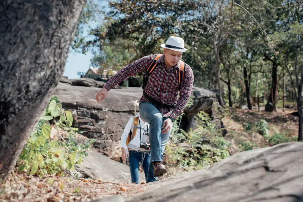
Routes to Walk Today, Respectfully and Safely
Jacob’s Ladder and Edale Cross Circuit
Stanage Causeway to Hathersage
Three Shires Head Waters Meet Loop
Layers, LIDAR, and Old Map Alchemy
Plotting and Sharing Your GPX Evidence
Contributing Photos, Notes, and Oral Histories
The Bellmare on Long Causeway in Fog
A Carrier’s Ledger from Tideswell, Reimagined
Inn Fires, Gritstone Steps, and Night Crossings
Conservation, Access, and Community Stewardship

All Rights Reserved.